
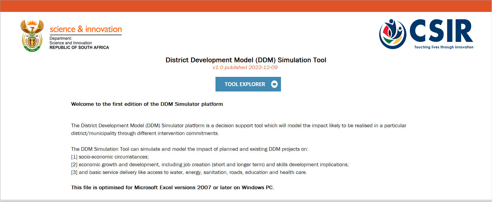
The DDM Simulator platform is a decision support tool that will analyze and model the impact likely to be realized in a particular district through different intervention commitments. In other words the platform provides a mechanism through which projects can be entered and their impact on various output levels can be tested through simulation. The outputs relate to specific high-level and medium to longer terms outcomes that government seeks to achieve. Read more...
The Anglo American (AA) Municipal Capability & Partnership Programme (MCPP) is a collaboration between AA, the Department of Cooperative Governance and Traditional Affairs (CoGTA), the Council for Scientific and Industrial Research (CSIR, as implementing partner), and participating mines joining forces with participating local municipalities to improve service delivery and tackle current and future development challenges peculiar to mining towns and regions. Challenges include the increased service demands from fast growing settlements, rising socio-economic vulnerability of households, and a complex regulatory and intergovernmental environment. Read more...
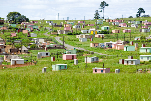
Settlements, the spaces where human habitation occurs is at the heart of efforts to develop people’s lives. It is often associated with the clustering of people for cultural-, economic reasons or to gain access to services. Settlements differ in scale and complexity from the smallest hamlet to large urban areas. Settlements cannot be viewed on their own, but they also form part of the larger environment. Settlements often consume services such as water and electricity (where provided) or as users of services from their environment. In more traditional settings settlements can also use resources in their environment for agricultural purposes. Settlements are often at the core of planning activities and for effective and appropriate spatial planning, planners and decisionmakers require an accurate mapping of the settlements in their region. Settlements are also not static but can grow or even decline requiring that the infrastructure or services required also be adapted to changing realities. Read more...
Urbanisation has become a powerful force in the world and we now live in an era where more people live in towns and cities than ever before. Cities in the South (including South Africa) have also grown rapidly, not only due to the obvious economic opportunities and employment prospects, but also as people view cities as potential places where livelihoods can be improved as people also seek better access to services. To assess the progress made by South African cities in the last 20 years in relation to development outcomes as well as to identify strategic problems and opportunities facing cities, the South African Cities Network is producing the latest State of the Cities Report. Read more...
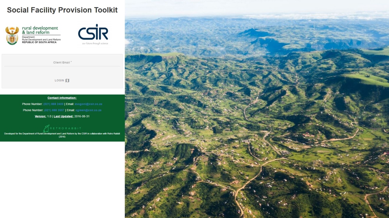
The Department of Rural Development and Land Reform recently launched the first web-based toolkit to support a differentiated application of social facility provision standards in non-metropolitan areas. The toolkit provides users with profile information on all non-metropolitan areas in South Africa and enables users to calculate the required social facility provision targets for each service region, based on a set of differentiated standards. Read more >>
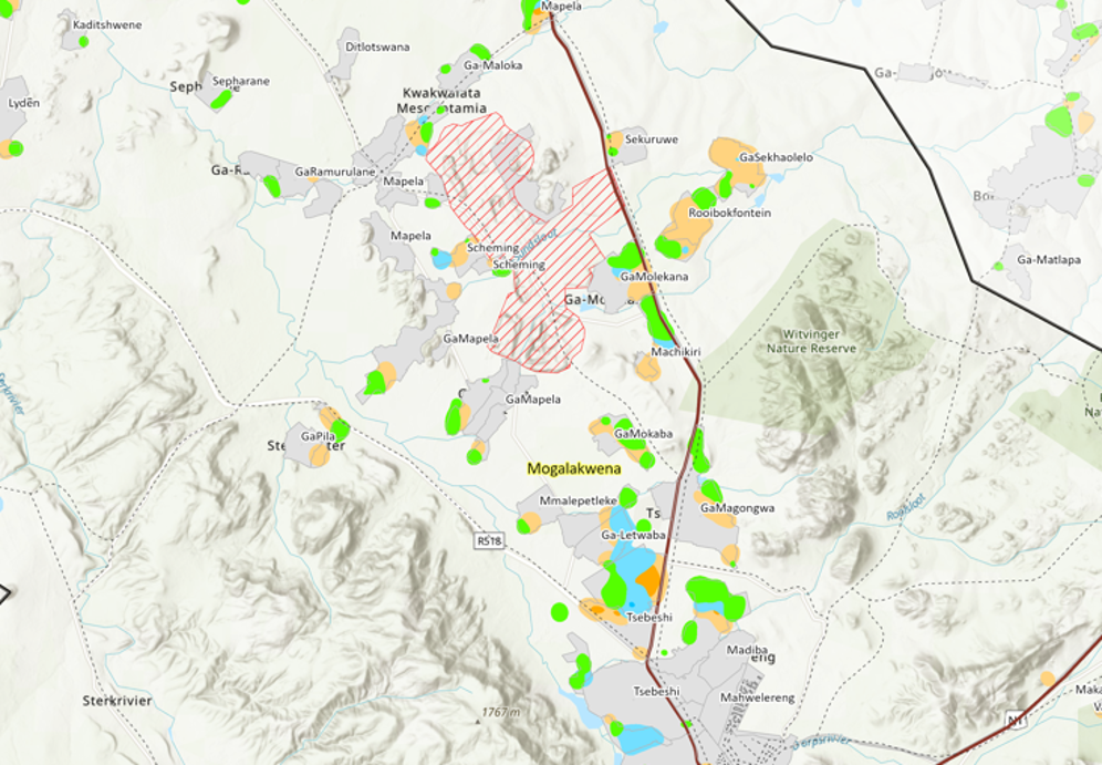
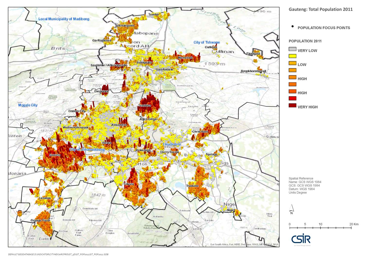
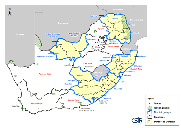
Responding to Government’s action Plan 6, the Department of Rural Development & Land Reform (DRDLR) initiated the Priority Rural District Infrastructure Investment Project to actively align government investment priorities around core catalytic investment and initiatives in South Africa’s distressed rural districts. In support of a bottom-up and collaborative multi-agent approach, the DRDLR & CSIR Spatial Planning Support teams used the basis provided by the spatially refined socio-economic change indicators within stepSA’s Regional Profiler and advanced spatial analyses capabilities to develop spatially refined development trend profiles, as well as identify priority settlements and investment areas within more than 20 districts. Read more...
The South African government made significant progress over the last 15 years in building a democratic governance system and policy framework; in establishing local, regional and national governance capabilities; and in enhancing quality of life for the majority of its citizens through delivering basic services and housing; addressing poverty and in providing access to services and economic opportunities. In support of a process to review the National Urban Development Framework, the CSIR, Built Environment was commissioned by the South African Cities Network to identify significant national demographic, economic, social and service trends impacting on the national space economy and the growth and development of South Africa’s towns, cities and city regions. Read more...

A rigorous and shared understanding of development patterns and trends, and the driving forces that shape them, are crucial for planners and decision-makers to develop robust and sustainable plans that could better inform investment decisions for specific areas. As part of the drive to support the developmental state, in which spheres and sectors cooperate and coordinate to realise its development path, the Department of Science and Technology identified the need for rigorous spatial and temporal evidence to promote a shared understanding of past, current and possible future development patterns and trends. The HSRC produced delivery demand guide charts which are aimed at supporting the preparation of the housing and transport chapters of integrated development plans. Read more...